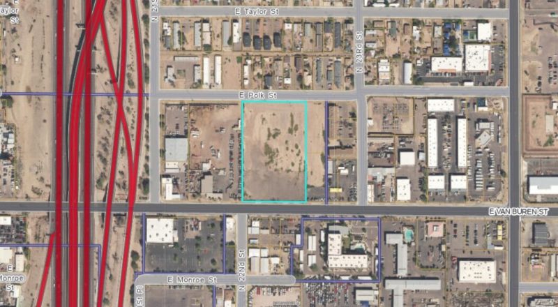
 The Place Database allows for mapping at the national level, and users can zoom in for more detail, with data as granular as a parcel.
Builder
A new interactive database created by the Lincoln Institute of Land Policy, based in Cambridge, Mass., and PolicyMap allows users to visualize a broad array of indicators – housing prices, incomes, open space, or zoning and land use regulations, and more – revealing new insights on the makeup of states, cities, towns, and neighborhoods throughout the United States.
The Place Database, unveiled at Meeting of the Minds, the annual conference spotlighting urban sustainability and connected technology, taps data from a variety of sources, such as the Environmental Protection Agency, Census Bureau, Internal Revenue Service, and National Conservation Easement Database, and assembles them for the first time all in one place.


