Stacker has taken a closer look at each of the 50 states to determine what type of land each state is most known for, who owns it, and how it is managed.
By Rachel Cavanaugh | Stacker
The United States is a giant country, with roughly 3.8 million square miles of land stretching between its coasts. That translates to a width of about 2,800 miles—not including Alaska and Hawaii. With all that acreage, there’s a great deal of diversity: The country boasts snow-covered mountains, lush rainforests, low-lying savannas, and wide, rolling plains. The temperature and climate also vary wildly, as do the visual landscapes. But what does the United States do with all of that land, and how does it allocate its resources?
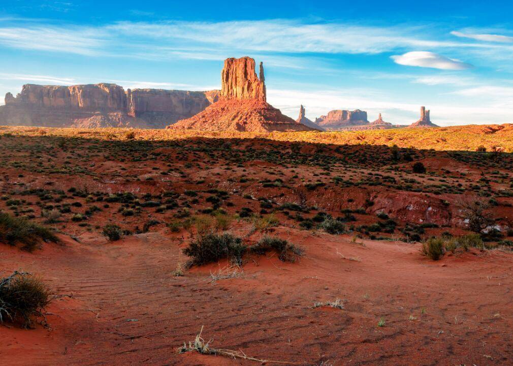
The U.S. can be divided into six main categories of land use. From largest to smallest, these include grasslands, forest-use land, croplands, special-use areas, miscellaneous land, and urban areas. Grassland and forestland each comprise about one-third of the country’s acreage. The former is found everywhere, but particularly east of the Rocky Mountains, from the badlands of North Dakota to northern Texas, and in the West in the Great Basin areas of Oregon, California, and Idaho.