By Jonathan Thompson
High Country News
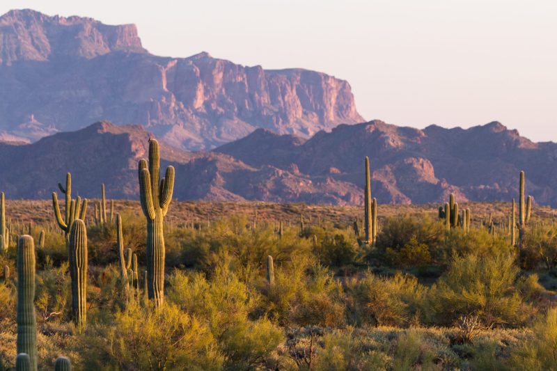
The West is heating and drying up so much that the whole place could burst into flames at any second. At least, that’s the way it seems, reading the news these days. Every day it’s another item about the catastrophic, unprecedented drought and the “new normal” of months of consecutive 90+ degree highs in places like Denver and Boise. Worse, even the tubers are high-centering on rocks in my hometown river, the Animas, which has reached its fourth lowest level (after 2002, 1934 and 1977) in the past century.
So, with the dismal water year of 2011-2012 (Oct. 1 – Sept. 30) coming to an end, I figured I’d get some perspective on the situation by looking at one of my favorite and reviled barometers of the state of the climate: Lake Powell.
Since it finished its long, slow fill-up in the early 1970s or thereabouts, Lake Powell’s surface elevation has reflected the health of the great big watershed above it. Generally speaking, the surface elevation goes up during and following wet years, and goes down during dry ones. Most famously, the lake’s level plummeted so far during the 2000-2005 drought that it left a 100-foot high bathtub ring, revealed treasures that had been submerged for decades and rendered many a boater’s guidebook obsolete. That big trough is apparent on this nifty graph I put together using surface levels in May and August of every year since Glen Canyon Dam’s completion (for 2012, I included average lake levels from every month thus far).