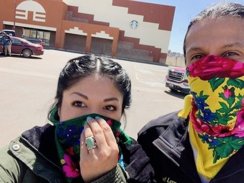
Adrian Lerma, and her husband Michael, stand outside the grocery store in Window Rock, Ariz. They’re buying food for elders in their community./Courtesy of Adrian Lerma
High rates of COVID-19 infections include near Indian reservations and in Scottsdale and Tucson
By Caitlin McGlade, Rob O’Dell, and Justin Price | Arizona Republic
Arizona health officials for the first time released coronavirus data by ZIP code on Sunday. The data showed hot spots of infections near Indian reservations, especially around Page, along with large numbers of cases in Scottsdale and Tucson.
Yet the state excluded much of the information needed to identify locations of outbreaks in the state.
Related: New Arizona data shows Native Americans, older people and men dying more from COVID-19
The state Department of Health Services published its data as a map, showing a number of cases for each ZIP code. ZIP codes with more than 10 cases gave a specific number. Those with fewer gave ranges: “0,” “1-5” or “6-10.”
The team from AZ Data Central extracted the case figures from the state’s map, assembling many of the data points by hand.
The state’s map shows every ZIP code with more than 10 cases as red.


