By Hunter Bassler | 12 News
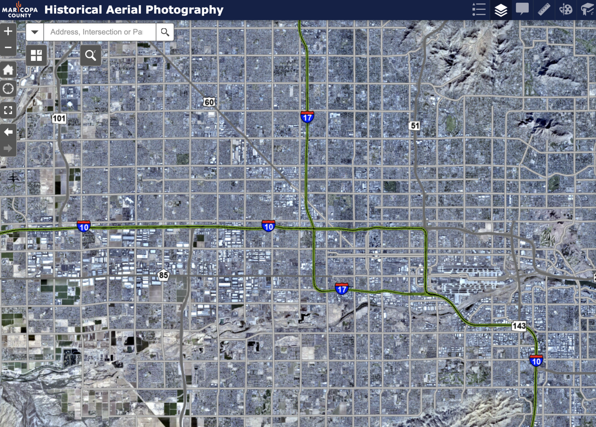
MARICOPA COUNTY, Ariz. — A new map can show you how the Valley has changed over the past 100 years, all with a click of a button.
Maricopa County created a webpage that archived aerial photography and satellite images taken since 1930, allowing people to search a specific area and see its’ past lives.
“This makes it easy to visualize how a Parcel looked like five, 10 or 20 years ago,” the county’s site said.


