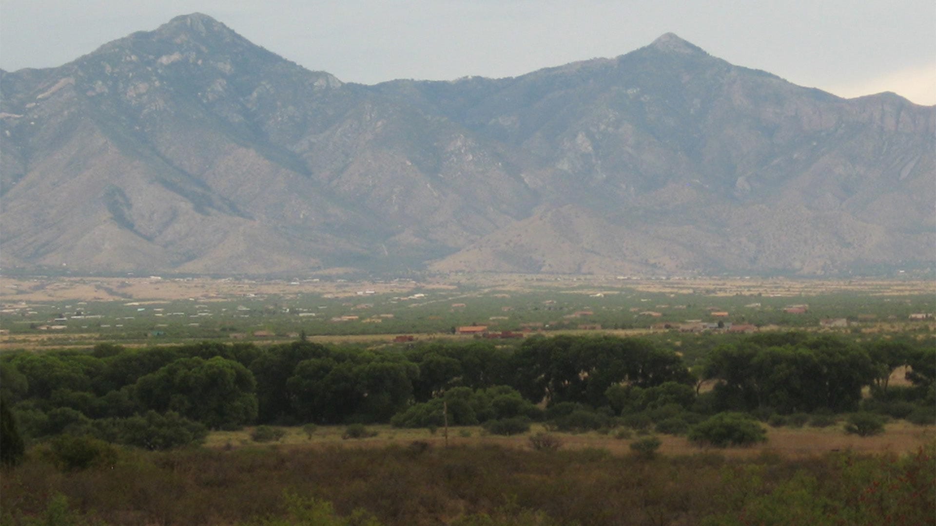
The San Pedro Riparian National Conservation Area /Courtesy of USGS
The map covers sections of the Verde and San Pedro River watershed
By Megan Myscofski/Arizona Public Media
The Arizona Department of Water Resources created a new map to help property owners learn more about the water beneath their land, and what their rights to it are.
The department said it created the map after it released the same data and received hundreds of inquiries, mostly from landowners with questions about their water rights.
Millie Heffner at the department said the map shows what are called “subflow zones” for the Verde and San Pedro Riv
The San Pedro Riparian National Conservation Area /Courtesy of USGS
Property owners can learn about their water rights with new map
The map covers sections of the Verde and San Pedro River watershed
By Megan Myscofski
The Arizona Department of Water Resources created a new map to help property owners learn more about the water beneath their land, and what their rights to it are.
The department said it created the map after it released the same data and received hundreds of inquiries, mostly from landowners with questions about their water rights.
Millie Heffner at the department said the map shows what are called “subflow zones” for the Verde and San Pedro Rivers.
“A subflow zone is underground water usually found bordering a stream that’s considered to be part of the surface stream, and it’s subject to the same laws as other types of surface water,” Heffner said.
Doug MacEachern with the department said the map is there to efficiently get out the data the state has related to water rights in the Verde and San Pedro River watersheds.
“It is the public’s data. And we want to and we want to make it as user friendly for impacted people, or people that simply want to know more about this process,” MacEachern said.
The map shows a proposed subflow zone for a portion of the Verde River watershed, and the approved subflow zone around the San Pedro River.
The department said the map also helps the state determine and enforce water rights cases.
You can find the map on the department’s website..
“A subflow zone is underground water usually found bordering a stream that’s considered to be part of the surface stream, and it’s subject to the same laws as other types of surface water,” Heffner said.
Doug MacEachern with the department said the map is there to efficiently get out the data the state has related to water rights in the Verde and San Pedro River watersheds.
“It is the public’s data. And we want to and we want to make it as user friendly for impacted people, or people that simply want to know more about this process,” MacEachern said.
The map shows a proposed subflow zone for a portion of the Verde River watershed, and the approved subflow zone around the San Pedro River.
The department said the map also helps the state determine and enforce water rights cases.
You can find the map on the department’s website.